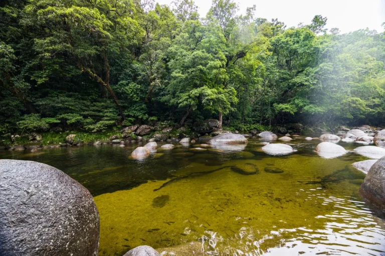

The Atherton Tablelands sit at roughly 600 to 900 metres elevation in Far North Queensland, which immediately changes how a visit feels compared to the coastal lowlands nearby. The altitude shift brings cooler temperatures, different vegetation patterns, and a rhythm that doesn’t match what most people anticipate when they think of tropical Australia. I’ve spent considerable time moving through this region – staying in small towns like Yungaburra and Malanda, driving between waterfalls and forest walks, and watching how the landscape actually behaves across seasons.
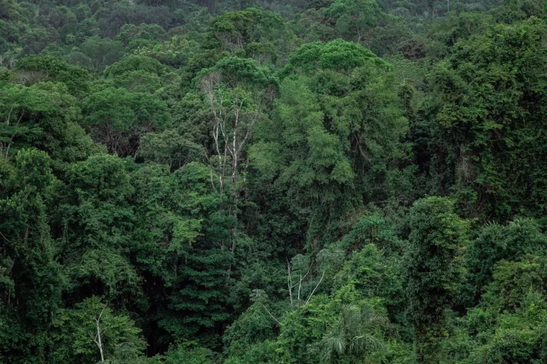
What strikes most visitors first is how quickly the environment changes as you climb from Cairns. Within an hour’s drive inland, you move from humid coastal air into something noticeably fresher. The rainforest here isn’t the dense, impenetrable wall some expect. It’s older, more open in places, with massive emergent trees and a canopy structure that feels different from lowland tropical forest. The understory is thick, but you can often see deeper into the forest than you might anticipate. The soil is rich volcanic basalt, which supports particular plant communities and influences water drainage and stream patterns throughout the region.
Moving Between Sites and Understanding Distance
One practical reality that affects planning: the Tablelands feel compact on a map, but driving between major attractions takes longer than the distances suggest. Curtin Falls to Millstream Falls, for instance, is perhaps 30 kilometres, but the roads wind through forest and small towns. You’re not on a highway. A 30-kilometre journey might take 50 minutes to an hour, sometimes longer if you stop to check directions or if a logging truck is ahead of you. The road surfaces vary – some sections are excellent, others are rougher. During wet season, some forest roads can become unreliable, and a few minor attractions become inaccessible entirely.
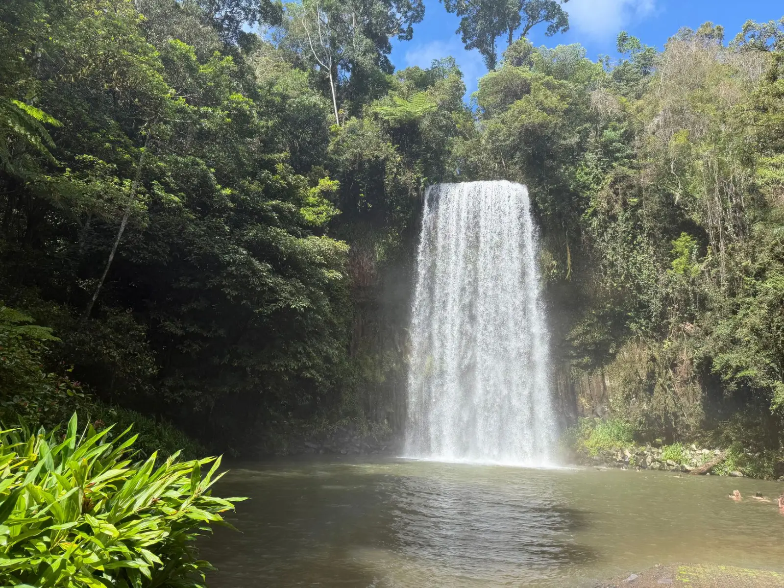
The waterfalls themselves are scattered across the region rather than clustered. Millstream Falls, Curtain Falls, Zillie Falls, and Malanda Falls are spread out enough that you won’t visit all of them in a single day without rushing. Most people underestimate the time spent walking to and from parking areas, waiting for light to improve for photographs, or simply standing and observing. A waterfall visit that sounds like 20 minutes often becomes an hour when you factor in parking, the walk itself, and the time spent actually at the site. This isn’t a complaint – it’s simply how the region functions. The spacing prevents overcrowding at individual sites, which is one of its genuine strengths.
The Forest Experience and Seasonal Variation
The upland forests here are mixed. You’ll encounter rainforest proper, but also eucalypt woodland, particularly on ridges and drier slopes. The transition zones between these communities are often where the most interesting ecology appears. Birdlife is substantial, though you’ll hear more than you see. Early morning walks are considerably more rewarding than midday visits. By 10 or 11 in the morning, bird activity drops significantly, and the forest feels quieter.
Seasonal timing matters more than many realise. The wet season, roughly December through March, brings higher water flows to the waterfalls – they’re more dramatic and powerful. However, roads can become problematic, humidity is intense, and insects are more active. The dry season, May through September, offers clearer visibility, cooler temperatures, and easier access. Waterfalls are less voluminous but still flowing. The shoulder months of April and October-November are often overlooked but represent a practical sweet spot: reasonable water flows, manageable temperatures, and generally reliable road conditions.
Lakes and Their Particular Character
The lakes scattered across the Tablelands – Lake Eacham, Lake Barrine, and smaller water bodies – are volcanic crater lakes. They’re deep, clear, and cold. Lake Eacham is perhaps the most visited. The walk around it is straightforward, roughly 5 kilometres, and takes most people between 90 minutes and two hours. The water is genuinely cold even in summer, which surprises people who assume tropical water is always warm. The lake sits within forest, which provides shade and creates a particular microclimate. On hot days, the temperature difference between the open air and the forest edge is noticeable.
Lake Barrine is larger and less intensively developed. The walk around it is longer and more varied. Both lakes have picnic facilities and parking, but neither is a swimming destination in the traditional sense. Some people do swim, but the water temperature and the absence of dedicated swimming facilities means most visitors treat them as walking and observation destinations rather than recreational swimming spots. The lakes attract birdlife, particularly water birds, and the surrounding forest is often where you’ll encounter wildlife more reliably than at other sites in the region.
Practical Considerations for Movement and Timing
Accommodation in the Tablelands is spread across several small towns. Yungaburra has the most services and the most visitor infrastructure. Malanda is quieter. Both are functional bases, but neither offers the range of restaurants or facilities you’d find in Cairns. This matters if you’re planning to spend multiple days. Most visitors base themselves in Cairns and make day trips, which is logistically simpler but means you’re driving the same roads repeatedly and spending time on transport rather than at sites.
The region is genuinely worth two or three days if you want to move through it without rushing. A single day allows you to visit perhaps two or three major waterfalls and one lake, with moderate time at each. Two days lets you explore more deliberately, revisit sites, and notice details – the particular bird species at different times of day, the way light changes through the forest, the subtle variations between different forest types. Three days allows for genuine immersion and reduces the sense of ticking boxes.
Roads are generally well-maintained, but a standard vehicle is sufficient. Four-wheel drive isn’t necessary for major attractions, though some minor forest roads benefit from higher clearance. Fuel is available in towns but prices are higher than in Cairns. Mobile phone coverage is patchy in forest areas but generally reliable in towns and on main roads.
The Atherton Tablelands work best as a destination where you’re willing to move slowly and observe carefully. The waterfalls are genuine attractions, the lakes are peaceful, and the forest itself is the primary experience. It’s not a destination where you accumulate experiences rapidly. It’s a place where you spend time, notice patterns, and understand why this particular elevation and forest type supports the ecology it does. That’s also precisely why it tends to satisfy people who come here expecting exactly that, and frustrate those anticipating a more conventional tourist experience.