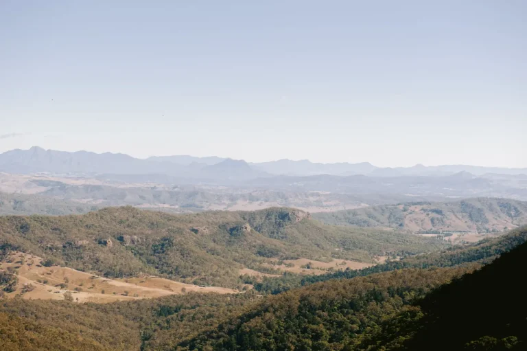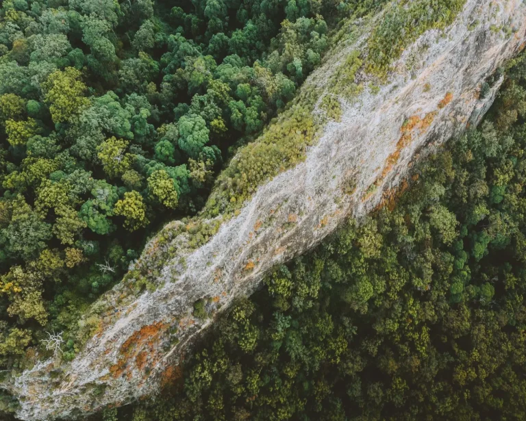

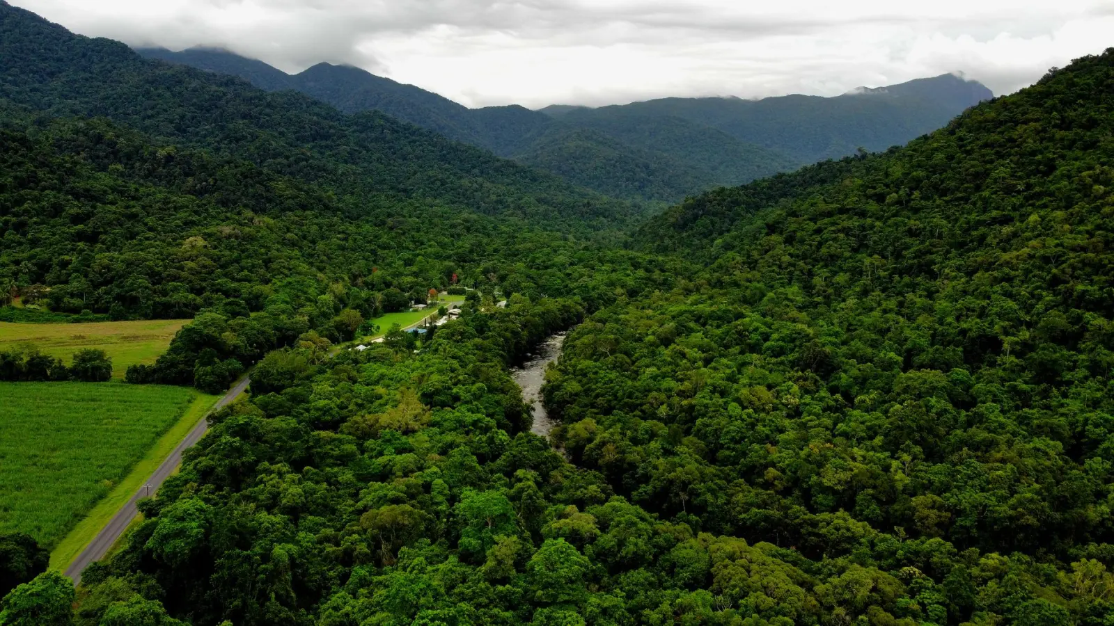
Wooronooran National Park sits in far north Queensland, straddling the Atherton Tablelands and the coastal lowlands. The park contains some of the oldest rainforest in Australia, mixed with volcanic peaks and deeply carved valleys. Most people arrive expecting a straightforward nature experience. What they encounter instead is a landscape that demands respect for its complexity and doesn’t tolerate casual preparation.
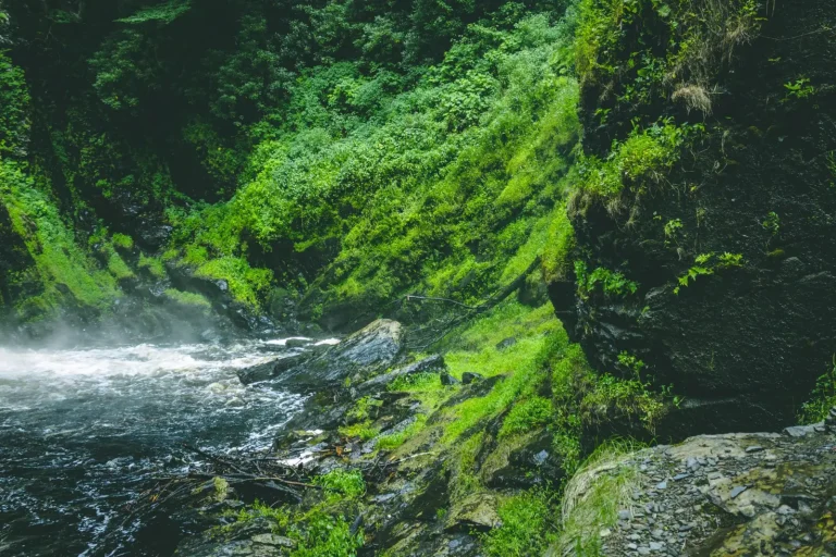
The wet tropics rainforest here is dense in ways that photographs don’t convey. The canopy closes in so completely that even at midday, light barely penetrates to the forest floor. This creates a peculiar micro-climate where humidity sits at saturation, temperature remains constant regardless of the season, and the air feels almost liquid. Walking through it for hours produces a specific kind of fatigue that’s different from open-country hiking. Your legs might feel fine, but your breathing becomes labored, your concentration drifts, and dehydration creeps up faster than you’d expect because sweat doesn’t evaporate – it just accumulates.
The Mountain Terrain and What It Demands
The peaks within the park – Bartle Frere and Bellenden Ker are the main attractions – rise steeply from the rainforest floor. Bartle Frere reaches 1,622 meters and is Queensland’s second-highest mountain. The ascent from the trailhead at Josephine Falls covers roughly 1,400 meters of elevation gain over about 8 kilometers. That distance sounds manageable until you’re actually on the trail and realize that nearly every meter involves scrambling over exposed tree roots, navigating around boulders, or climbing steep sections where the track becomes almost vertical.
The rock underfoot is volcanic and often slick, especially after rain. Even on days when no rain has fallen recently, moisture from the forest keeps everything damp. Boots with good grip are essential, not optional. I’ve watched experienced hikers slip on sections that looked benign, and I’ve seen people turn back not because they lacked fitness but because their footwear couldn’t handle the terrain. The mud in certain sections is genuine mud – not dirt, but a slippery clay-like substance that accumulates on boot soles and makes each step feel heavier.
Seasonal Patterns and Weather Reality
The wet season runs from November through March, but “wet season” doesn’t mean occasional showers. It means the forest receives intense rainfall, often in concentrated bursts. Trails can become streams. Visibility drops. The already-slick rock becomes genuinely hazardous. Most experienced hikers avoid the park entirely during peak wet season, but the shoulder months – October and April – still carry significant risk. A clear morning forecast means nothing. Afternoon storms develop rapidly, and the forest’s density means you won’t see them coming until you’re in them.
The dry season, May through September, is when the park functions as intended for hiking. Even then, the rainforest maintains its moisture. Trails dry out enough to be reasonably safe, but “dry” in the wet tropics is relative. Early morning starts are necessary because afternoon cloud builds up regularly, and visibility on the peaks can vanish by midday. I’ve stood on Bartle Frere’s summit on a clear morning and watched the cloud roll in within two hours, reducing visibility to perhaps fifty meters.
Practical Movement Through the Forest
The trails are marked and maintained, but the forest doesn’t make navigation intuitive. The density of vegetation means you’re often following a narrow corridor cut through the undergrowth, and it’s easy to lose focus on the actual track. Cairns and blazes exist, but they’re spaced further apart than you might expect. GPS devices work, but the canopy coverage can affect signal. Most people rely on a combination of trail markers and the simple fact that the main tracks are well-worn enough to be obvious if you’re paying attention.
Pace matters significantly. Rushing through the rainforest burns energy quickly and increases the likelihood of missteps. Most hikers find that a slow, steady rhythm works better than any attempt at speed. The forest punishes hurrying. People who try to maintain their usual hiking pace often find themselves exhausted well before the summit, sitting on a rock wondering why their legs have stopped cooperating despite feeling fine mentally.
Water sources exist along the trails, but they require treatment. The streams are clear and cold, but the forest’s density means they’re not always easy to access. Carrying sufficient water is more practical than relying on refilling. A three-liter capacity is reasonable for most day hikes, though some people prefer to carry more and drink less frequently rather than stopping multiple times.
The Fatigue Factor and Realistic Timing
Guidebooks and online sources often quote ascent times for Bartle Frere around four to five hours. That’s optimistic for most people, particularly on the first attempt. The combination of elevation gain, technical footing, and the rainforest’s resistance to forward momentum means many hikers take six to seven hours to reach the summit. The descent often takes just as long because the downhill sections are technically demanding and require careful foot placement to avoid sliding or twisting an ankle.
A full day commitment of ten to twelve hours is realistic for the round trip from Josephine Falls. Starting at dawn and finishing in late afternoon is standard. People who underestimate this timing often find themselves descending in fading light, which transforms the already-technical terrain into something genuinely risky. Headlamps help, but hiking steep, slippery forest trails by artificial light is not an ideal situation.
Bellenden Ker, the other major peak, presents similar challenges but from a different approach. The terrain is comparable – steep, wet, technically demanding – though the specific route offers its own quirks. Both mountains reward early starts and conservative pacing far more than fitness or determination.
What the Rainforest Environment Actually Offers
Beyond the peaks, the rainforest itself is the park’s defining feature. Walking through it produces a sensory experience that doesn’t translate well into words or images. The silence is nearly complete – bird calls are present but seem muted by the density of vegetation. The air smells rich and organic, with a particular quality that’s specific to old-growth tropical rainforest. The light, when it reaches the forest floor, has a green quality that affects how you perceive distance and depth.
Wildlife is present but rarely seen. Cassowaries inhabit the park, though encounters are uncommon. More likely are smaller creatures – insects, frogs, occasional snakes – that you’ll notice if you’re moving slowly and observing. The forest’s age and complexity mean there’s genuine biodiversity here, though most of it remains invisible to passing hikers.
Shorter walks exist within the park that don’t involve summit attempts. Josephine Falls itself is worth the short walk, and various rainforest walks offer the forest experience without the mountain commitment. These tend to be more accessible and allow people to experience the environment without the physical demands of peak ascents.
Wooronooran isn’t a difficult park to visit, but it’s a park that requires honest assessment of fitness, experience, and preparation. The rainforest and mountains are genuinely impressive, but they’re also genuinely demanding. Respect for the terrain, realistic timing, and appropriate gear make the difference between a memorable experience and a difficult day that teaches expensive lessons.