
The Border Track in Lamington National Park sits somewhere between a popular day walk and a serious mountain undertaking. Most people who mention it seem to have done it once, remember it vividly, and then move on to other things. That pattern tells you something about the experience itself – it’s memorable enough to stay with you, but not necessarily the kind of walk you repeat often.
The track runs along the Queensland – New South Wales border for roughly 21 kilometres, connecting the Green Mountains section with the Border Gate area. It’s accessible as a full traverse or broken into sections depending on your fitness and available daylight. What matters most is understanding that this isn’t a walk where you can coast on momentum or assume conditions will remain consistent. The terrain changes character several times, and the subtropical rainforest environment means weather, ground conditions, and visibility can shift within the space of an hour.
I’ve walked this track in different seasons and under varying conditions, and the most useful thing I’ve learned is that the Border Track rewards preparation but punishes complacency. People often underestimate it because it’s well-maintained and clearly marked. That accessibility can work against you if you treat it like a casual forest stroll.
The Reality of Elevation and Distance
The Border Track doesn’t feel like a high-altitude hike because Lamington’s peaks max out around 1,100 metres. That’s genuinely modest by mountain standards. But the track doesn’t follow ridgelines in a straightforward way. Instead, it undulates through the rainforest, which means you’re constantly climbing and descending, losing elevation only to regain it again over the next section. A 21-kilometre walk with 800+ metres of cumulative elevation gain feels different from a single sustained climb of the same height.
The distance itself becomes a factor around the 15-kilometre mark. By that point, your legs have absorbed repeated shock from descents, and the mental load of navigating uneven terrain starts to compound. I’ve seen people who are fit and experienced slow noticeably in the final third of the walk. It’s not because they lack fitness – it’s because the terrain and the accumulated fatigue interact in ways that a flat, open walk wouldn’t present.
Starting early matters more than most walkers anticipate. If you’re attempting the full traverse, leaving the Green Mountains section by 7 or 7:30 am gives you a reasonable buffer. Daylight at that latitude runs from around 5:30 am in winter to nearly 7 pm in summer, but that doesn’t translate to a comfortable finishing window. By 4 pm, light begins to soften noticeably, and navigating the rougher sections becomes slower and less pleasant. Headlamps work, but they’re a sign that planning went sideways.
Rainforest Walking and What It Demands
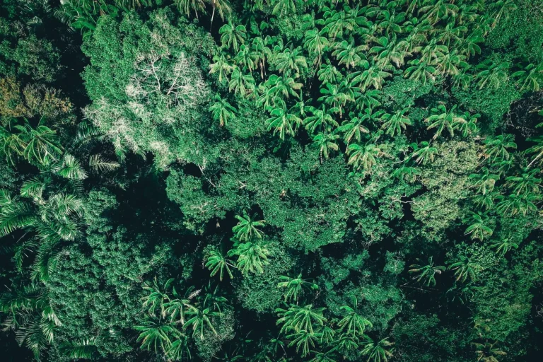
Subtropical rainforest creates specific walking conditions that differ from open mountain terrain. The canopy is dense enough that ground-level light remains relatively dim even in bright weather. Moisture retention is high – the forest floor stays damp or wet even days after rain because the vegetation shades the ground and traps humidity. That affects foot placement and traction in ways that become obvious after the first hour.
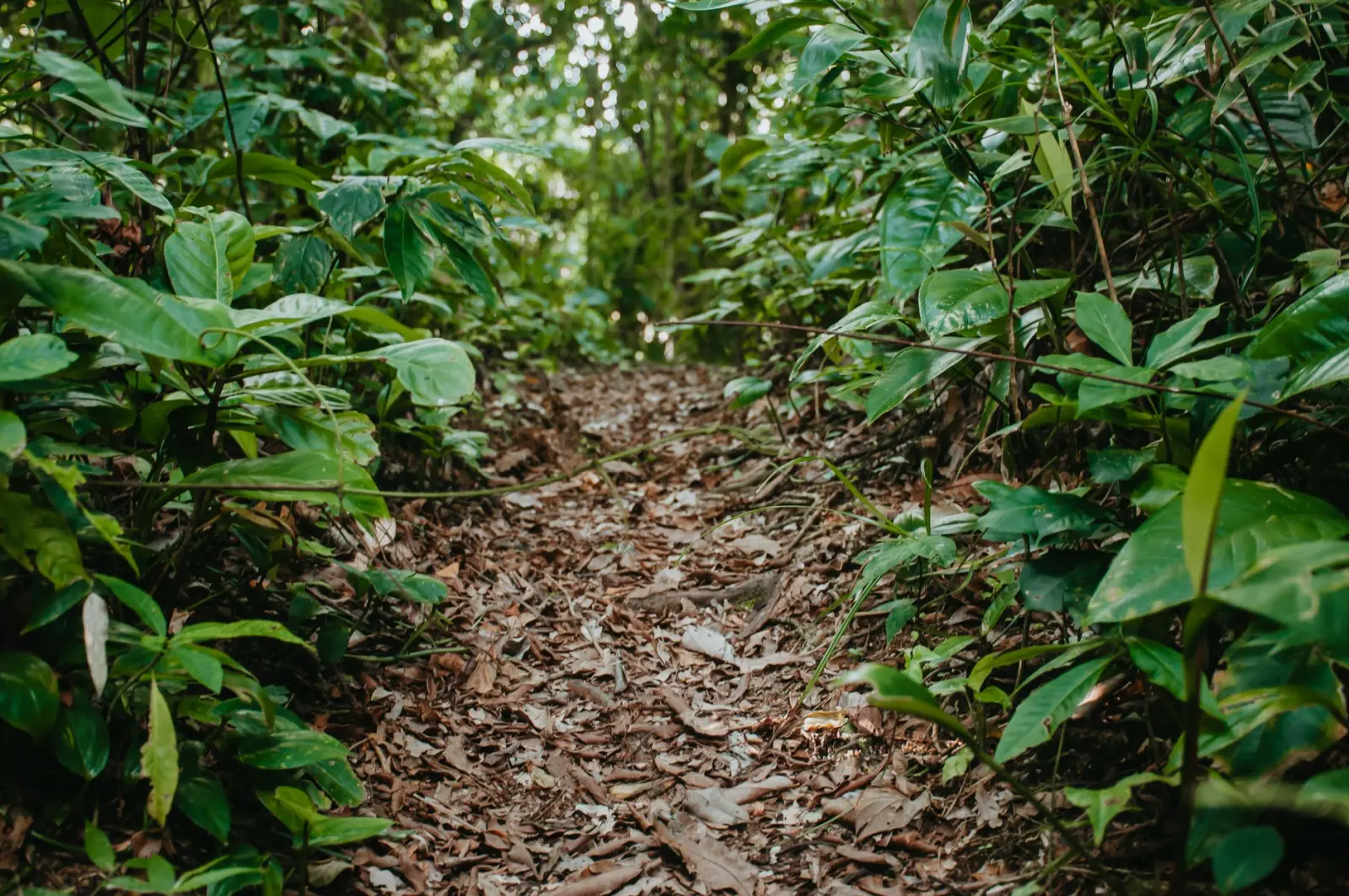
The track surface varies considerably. Some sections are well-drained and firm, almost compacted by regular foot traffic. Others are soft, with a layer of organic matter that absorbs impact but offers less stability. Roots are constant – not as a novelty or occasional obstacle, but as a permanent feature of the walking surface. You’re not stepping over roots; you’re stepping on them, around them, and occasionally tripping on them when fatigue or inattention creeps in.
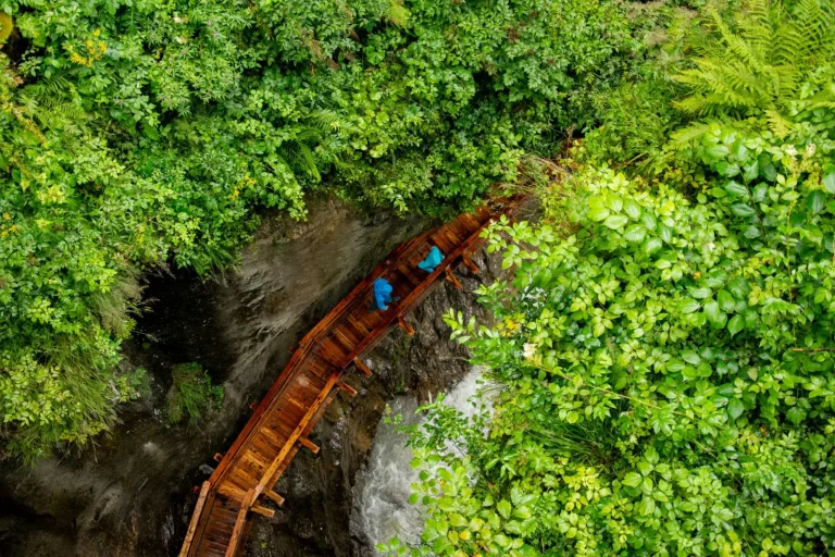
Water crossings appear throughout the track, particularly in the northern sections. These aren’t dramatic creek crossings with rushing water – they’re usually shallow, manageable, and well-stepped. But they’re also slippery. The rocks are covered in algae and moss, and the water is cold. I’ve seen people lose their footing in what looked like an easy crossing. Carrying trekking poles and taking time through water sections isn’t overcautious; it’s practical.
Weather Patterns and Visibility
Lamington sits at the edge of the Brisbane Valley, and weather systems move through quickly. Morning starts can be clear and cool, then cloud builds through the valley by late morning, and by early afternoon, the higher sections can be obscured. This isn’t dramatic – you’re not dealing with sudden storms or dangerous conditions in most cases – but visibility does compress. When you’re navigating a rainforest track, reduced visibility means slower progress and more reliance on the track markers.
Fog in the upper sections is common, especially in autumn and winter. It doesn’t create danger in itself, but it removes visual landmarks and makes the walk feel more enclosed. Some people find this atmospheric and pleasant. Others find it disorienting. Either way, it’s something to expect rather than be surprised by.
Rain is frequent in this region, particularly between November and March. The track itself handles rain reasonably well because the dense canopy and organic forest floor absorb water quickly. But your pace will slow, and the rocks and roots become more treacherous. I’ve done the Border Track in light rain and found it manageable. I’ve also turned back during heavier rain because the risk-to-benefit calculation shifted. There’s no shame in that decision.
Logistical Realities
Most people approach the Border Track as a point-to-point walk, starting at Green Mountains and finishing at Border Gate. That requires shuttle logistics – either a second vehicle, a ride service, or walking back. The Border Gate end is quieter and less developed than Green Mountains, which matters if you’re relying on facilities or services at the finish.
Water availability is limited. There are creeks along the route, and many walkers filter or treat water from them. If you’re not equipped to do that, you need to carry enough for the full distance. On a warm day, that’s a significant weight. Most people I’ve walked with carry between 2 and 3 litres and refill at creek crossings.
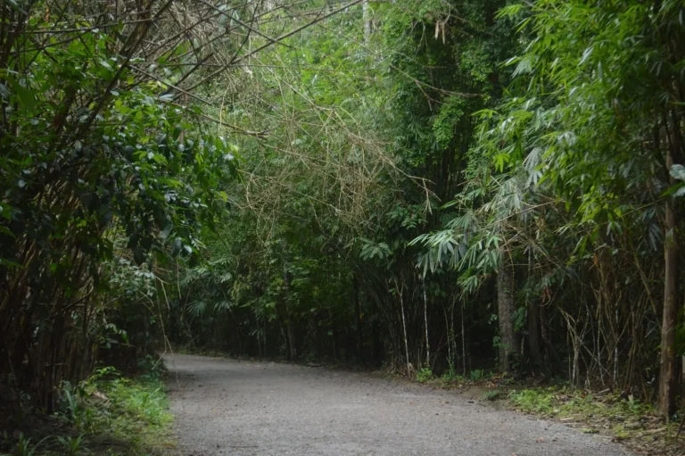
The track is well-marked, but navigation isn’t entirely passive. The path is clear in most places, but there are junctions and occasional sections where the route could be ambiguous if you’re not paying attention. A map and basic navigation skills are worthwhile, particularly if you’re walking in poor visibility or when the track is wet and foot traffic patterns are less obvious.
Food and energy management matters more than it might seem. A full day on this track burns significant calories, and the terrain doesn’t allow for easy pace variation. You can’t just speed up or slow down at will – the ground dictates your pace. Carrying adequate food and eating regularly prevents the energy crashes that make the final kilometres genuinely difficult.
The Border Track is a walk that reveals itself over the course of the day. It’s not dangerous or extreme, but it’s also not a casual forest stroll. It demands attention, reasonable fitness, and realistic planning. Those who approach it with that mindset typically find it rewarding. Those who underestimate it usually remember it as harder than expected.